Urban heritage · Olinda / Amparo
Quatro Cantos Crossroads
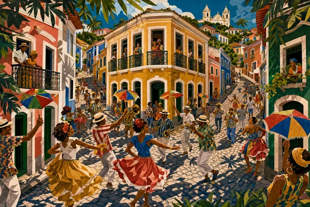

A crossroads that became a place name
Quatro Cantos, the Four Corners, is a crossroads in Olinda's historic centre that gave its name to a whole stretch of the town. In colonial towns such junctions worked as landmarks long before addresses and street signs existed.
The key object here is the Bica dos Quatro Cantos, a public fountain built, according to the historical record, in 1602 and also known as the Fonte da Tabatinga.
The fountain was destroyed and later recovered, a biography typical of urban infrastructure: first a vital point, then loss of function, finally heritage status.
Come to understand how the town worked before piped water, because neighbourhood life organised itself around water and a crossroads with a fountain was its centre.
It is also one of the most photographed spots in Olinda, and in that contrast between daily function and postcard status lies a subject of its own.
A practical frame: the object is small and its meaning comes from how it sits in the town rather than from size. Olinda is a rare case where ordinary infrastructure and utilitarian buildings survived alongside the churches, and that completeness is what sustains the World Heritage title.
1602 and after
The fountain's construction date is 1602, that is, the town's first decades, when Olinda was the centre of the sugar captaincy and needed organised water supply.
The name Fonte da Tabatinga refers to local toponymy and to the soil, typical of colonial names tied to landscape.
The fountain was destroyed and later recovered, and the exact chronology of those events is not detailed in popular sources, which is worth noting.
With centralised supply in the twentieth century the practical function disappeared, and the object remained as monument and landmark.
Today Quatro Cantos is above all an urban crossroads around which the historic-centre route organises itself. Note that dates of construction, consecration and completion often diverge in Brazil, and official sources may give different years for the same property.
What there is to see
The essential thing is the crossroads itself and its geometry: converging streets, corner houses and the slope of the ground form the characteristic view.
The fountain is a stone structure with a frontispiece, designed to deliver water through several spouts and to serve a queue of residents with vessels.
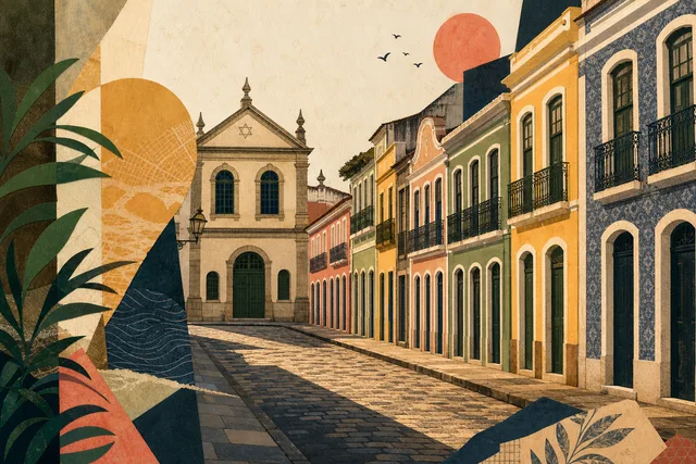
Around it stands Olinda's colonial fabric, with coloured façades and shops, some serving tourists and some residents.
There is no museum or display here: the content is the urban fabric, and it has to be read on the spot.
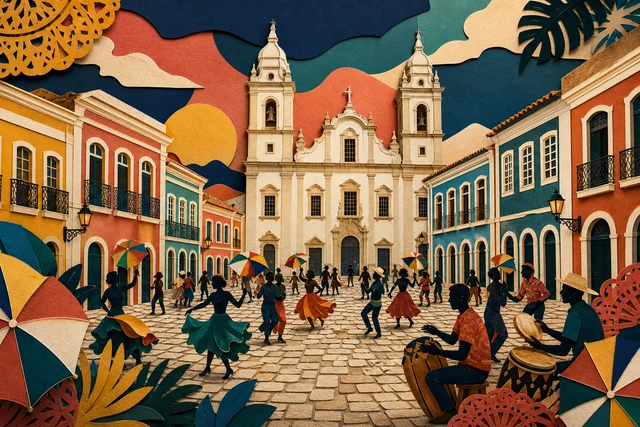
During Carnival the crossroads becomes one of the key points on street routes.
Remember the climate: humidity, salt and heavy rain degrade materials faster than in temperate zones, so the condition of anything here results from continuous care.
How to look closely
Study the fountain up close: masonry, the shape of the basin and the water outlets show how a domestic need was solved four hundred years ago.
Notice the slope of the streets, because in Olinda water always depended on terrain and the fountain sat where it was easiest to collect.
Compare the corner houses, since different heights and states of repair show that the block changed piecemeal rather than all at once.
Look for signs of recovery, because restored monuments usually reveal themselves through the regularity of masonry and joints.
And watch the movement, because the crossroads remains a working junction and shows how the historic centre lives. Watch the limits of intervention: where restoration stopped, what was left as found and what was deliberately not rebuilt for lack of documentary evidence.
The historic centre around it
Quatro Cantos sits at the heart of historic Olinda, near the Largo do Amparo and on the way to the Alto da Sé.
It is a nodal point: streets radiate from here to churches, museums and markets, and almost every walk through the town passes it.
Studios, small cafés and shops operate around it, and people live in the houses for whom this is an ordinary neighbourhood.
At weekends and during Carnival it is crowded; on weekday mornings almost empty.
It is easy to orient yourself here: if you get lost in Olinda, finding your way back to Quatro Cantos is simpler than to any other point.
Note that distances deceive because of the terrain, and a route works better organised by altitude than by metres.
Water, town and inequality
Access to water in a colonial town was a question of power: fountains served districts unevenly, and carrying water to houses was done by other people's labour, most often that of enslaved people.
It is worth remembering that everyday infrastructure rarely enters heritage lists: churches and forts are preserved, while fountains, wash houses and wells vanish because they do not look important enough.
Preserving and recovering this fountain is a rare case of a daily function gaining heritage status.
The contemporary side is touristification: a crossroads that lived on daily life now works as scenery, and the residents of neighbouring houses live inside that image.
Looking at Quatro Cantos while remembering it is first of all a place where people live is the honest approach. Remember that World Heritage status brings attention and funding but also raises the cost of living for permanent residents.
Planning the visit
The crossroads needs no time of its own, because it falls naturally into any historic-centre route.
Allow fifteen to twenty minutes if you want to study the fountain and the surrounding houses without hurrying.
The best moments are early morning, with empty streets and visible architecture, or evening, when the lighting comes on.
Combine it with the Largo do Amparo and the climb to the Alto da Sé, all within a short walk.
Wear firm shoes, because the paving is old and sloping.
Build a day of three or four stops with pauses, because trying to see more ends in fatigue.
Getting there and access
The crossroads lies in the historic centre of Olinda, about seven kilometres from central Recife. You can arrive by taxi or bus with a walk.
The terrain slopes and the paving is old and uneven, which makes the route hard for wheelchairs.
Shade is scarce, and in hot hours walking the block tires you.
Parking nearby is limited, especially at weekends.
In the evening it is busy in high season and quiet the rest of the year. Plan your return in advance, because transport is harder to find in the historic part after dark.
Where to go next
The nearest stop is the Bica do Rosário, Olinda's other historic fountain, on the same street.
Beyond lie the Largo do Amparo with its brotherhood church and the climb to the Alto da Sé with the cathedral and museums.
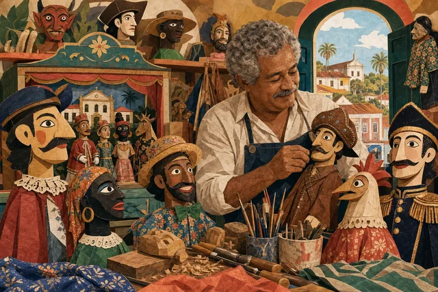
Downhill run the ways to the markets, the Mamulengo Museum and the lower town.
If urban infrastructure interests you, add the 1934 water tower, because water in Olinda was solved differently in different eras.
And finish the walk at the upper town's viewpoint.
Olinda repays two short days more than one long one, because the town is small and dense.
Verified facts
Every fact below is linked to this profile’s source codes.
- Location
- Amparo · Olinda MTUR_OLINDA · OLINDA_MON
- Listed address
- Rua dos Quatro Cantos MTUR_OLINDA · OLINDA_MON
- Documented focus
- Emblematic meeting of streets, houses and cultural life, especially associated with the Olinda Carnival processions. MTUR_OLINDA · OLINDA_MON
- Evidence basis
- Identity, location and cultural relevance are supported by primary evidence. MTUR_OLINDA · OLINDA_MON
Original Meu Recife editorial copy based only on this profile's source codes. It does not reproduce third-party text in full or turn a community-guide opinion into fact.
Before visiting
The crossroads needs no time of its own and fits into any historic-centre route, but fifteen to twenty minutes is worth allowing to study the 1602 fountain and the corner houses. The best moments are early morning and evening, since the middle of the day brings crowds and heat. The paving is old and sloping, so wear firm shoes.
- Reference address
- Rua dos Quatro Cantos, Amparo, Olinda — PE
- Urban heritage
- 30–90 min
- What can change
- Hours, tickets, accessibility and temporary closures can change. Confirm with the official source before visiting.
Getting there
Coordinates cross-checked against multiple mapping sources
- Reference address
- Rua dos Quatro Cantos
- District and city
- Amparo · Olinda, PE
- Verified coordinates
-8.014705, -34.852796