Recife Between Rivers, Port and Sugar: How the City Took Shape
A historical and spatial reading of Recife: rivers meeting the sea, the port, the sugar economy, the Dutch period and the urban traces that still help explain the city.
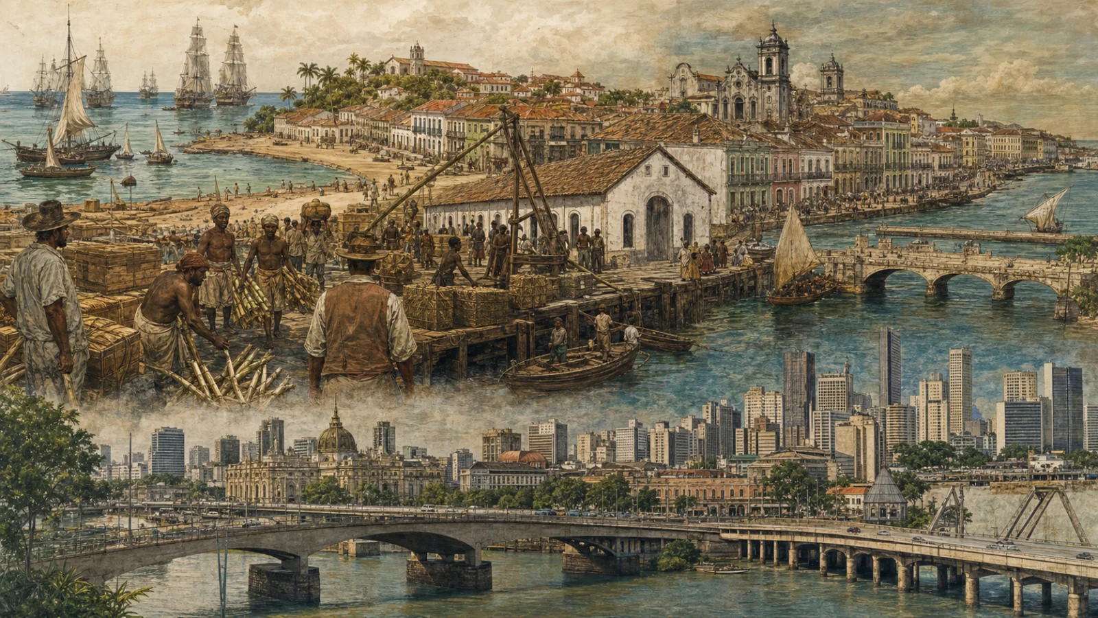
Begin with the water
Recife makes more sense when its story begins with geography rather than a list of rulers. The Atlantic, the coastal reefs and the Capibaribe and Beberibe rivers created sheltered waters, islands, narrow passages and low-lying ground. Over centuries, people connected, filled and reshaped those spaces. Crossing a bridge in the historic centre therefore means more than moving between neighbourhoods: it means passing over an older boundary in the city’s development.
The name Recife points to the reefs along the coast. An early settlement grew around the port that served nearby Olinda. IPHAN describes Recife as developing where the rivers meet the sea. The same setting still matters. It helps explain the city’s canals, drainage problems, flood exposure and current attempts to reconnect public life with waterways that urban development often turned away from.
The port and the unequal world of sugar
Recife’s port became a major outlet for Pernambuco’s sugar economy. Goods, equipment, information, political power and people moved through a relatively small coastal territory. This should not be told as a neutral success story. Colonial wealth depended on transformed Indigenous territories and on the forced labour of enslaved Africans.
While plantations and sugar mills produced for overseas markets, the port concentrated storage, defence, trade and services. Recife gradually gained influence beside Olinda. That history explains the unusual mixture still visible in the centre: churches, forts, markets, town houses, military structures and buildings designed around the movement of goods.
The Dutch period without a simple hero
From 1630 to 1654, Dutch forces controlled Pernambuco. Their presence left material and symbolic marks on Recife, but the city cannot be reduced to the biography of Johan Maurits of Nassau. War, commercial interests, displacement and changing rules of tolerance and authority all shaped the urban environment.
Connections between islands, defensive works and new routes became especially important. Europeans of different backgrounds, a Jewish community, local populations, free residents and enslaved people occupied the same contested city. A responsible account asks both who appears in monuments and whose labour or suffering has been pushed outside the familiar narrative.
Bridges, forts and a moving shoreline
Recife expanded by connecting pieces of land separated by short stretches of water. Bridges turned islands and banks into an urban system. Forts controlled strategic approaches and later acquired new uses. The Forte das Cinco Pontas, now home to the Museum of the City of Recife, is a particularly useful place for understanding Dutch occupation, defensive architecture, later rebuilding and civic reuse.
The museum preserves maps, photographs and archaeological fragments related to the city’s development. Together they show that the landscape has never been fixed. Shorelines shifted, streets were opened, buildings disappeared, reclaimed land created new surfaces and port structures changed purpose. The “old city” was repeatedly remade.
Heritage is more than a façade
IPHAN protected Recife’s architectural, urban and landscape ensemble in 1998. Its streets and buildings document different stages of the capital’s history. Yet preserving an attractive façade is not enough. A functioning historic centre also needs residents, jobs, transport, maintenance, safety, everyday commerce and genuine public access.
Restoration raises practical questions. Who will use the building? Which memories will be presented? Will the project support or displace existing life around it? Markets, pavements, bridges and modest commercial activities matter alongside formal monuments because they show how the centre works as a lived place.
Reading Recife today
A historical walk can begin on the waterfront in Bairro do Recife and continue across the bridges towards Santo Antônio and São José. The point is not to collect attractions. Notice how the scale and function of space changes: port warehouses and open squares give way to churches, markets, courtyards and busy commercial streets.
Compare a current map with historical plans at the city museum. Look for changes in ground level, hidden channels, reused buildings and street names. Institutional records provide a necessary framework, but traders, residents, artists and workers also carry the memory of the centre.
What to check before visiting
Editorial verification date: 28 July 2026. The historical core was checked against IPHAN and the Museum of the City of Recife. Opening times, prices and current exhibitions are intentionally excluded.
Before travelling, confirm museum access, restoration work, street closures, accessibility, traffic changes, major events and local safety guidance through official channels. These are mutable facts and should be displayed in a separate live layer with their own source and last-checked date.
Sources and fact-checking
We link to original sources and never present machine translation as original reporting.
Sources and fact-checking
We link to original sources and never present machine translation as original reporting.
Comments
To comment, open the portal with the Meu Recife button inside Telegram.
Open the botNo links, personal data or advertising. Up to five comments per day.