Walking Olinda Without Rushing: A Route That Respects the Hills
How to read Olinda’s historic centre in layers, with a realistic sequence, pauses and alternatives that do not depend on every monument being open.
3–5 hours · mostly downhill
Verified points are connected in editorial order. Zoom the map and use turn-by-turn navigation outside.
- 01Alto da SéStart and panorama
- 02Quatro CantosStreets and studios
- 03Carmo ChurchShort-route finish
- 04São Bento MonasteryFull-route finish
Begin with geography
IPHAN describes Olinda’s historic centre as an ensemble of roughly 1.2 km² and about 1,500 properties, with hilltop churches, houses, gardens and a medieval Portuguese street pattern. Distances look short on a map, but slopes, stone, heat and stops slow the walk.
A simple sequence begins at Alto da Sé, observes the landscape and gradually descends through the historic streets, choosing two or three churches or monuments from the municipal guide. Avoid repeated climbs to complete a checklist. The route still works without entering buildings: façades, squares, views and terrain already explain the city.
Main route and shorter version
Allow three to five hours with water, sun protection and secure footwear. This is an editorial estimate. Families, older visitors and reduced mobility should reduce the area and confirm accessibility; a hilltop heritage site cannot support generic promises.
The short version stays around Alto da Sé. A longer walk may include Mosteiro de São Bento after confirming access. Arrive and leave by transport rather than moving a car at every stop.
Basis checked on 28 July 2026 with IPHAN and Olinda’s official monument and church guides. Hours, works, services and tickets require same-day confirmation.
Before starting: arrive at the right point
Use Catedral da Sé at Alto da Sé as the start reference, approximately −8.013827, −34.849104. Save it and check the drop-off because narrow streets and local operations may prevent door access. Allow three to five hours with water, sun protection and secure footwear. Do not move a car between churches; parking and one-way streets consume the visit.
Stop 1. Alto da Sé
Begin with the landscape. Locate the sea, towers, houses and Recife on the horizon. The Cathedral of the Saviour of the World organises the hilltop view. Even when closed, its relationship with square, trade and terrain is visible. A façade alone cannot explain the city; notice where it can be seen from and what its doorway overlooks.
Stop 2. Quatro Cantos
Descend slowly while checking signs and surface. At Quatro Cantos the scale changes: façades, doors, studios and homes replace the panorama. This is lived space. Do not block an entrance or photograph residents closely without consent. Carnival changes its dynamics; an ordinary day makes the residential function clearer.
Stop 3. Igreja do Carmo
The approximate reference is −8.017431, −34.849201. Its open square creates a pause after tight streets. Compare the church volume with the space and decide whether to continue. In heat, with a child, an older visitor or fatigue, this is a complete shorter finish: hilltop, urban fabric and monumental architecture have all appeared.
Stop 4. Mosteiro de São Bento
The long version continues to the monastery at approximately −8.019890, −34.851752. It is a functioning religious place, so entry depends on hours and services. Do not promise an interior visit. Outside, the complex still shows how major institutions mark directions and edges of the historic site.
Finish below and leave by transport rather than climbing simply to close a loop. The descent is designed to conserve energy.
Accessibility without generic promises
Slopes, irregular stone, steps, kerbs and narrow pavements change street by street. Wheelchair users or people with limited stamina should choose one zone and arrange transport between places. Confirm an accessible entrance, toilet, seating and drop-off for each building. A pushchair may find the surface harder than the distance. Rain increases slipping risk.
A 60–90 minute version
Stay around Alto da Sé, view the landscape, walk around the cathedral and take one short descent before leaving by transport. Do not add the monastery as an obligation. A short attentive reading is better than an exhausted checklist.
Checklist
- start: Catedral da Sé, −8.013827, −34.849104;
- long finish: Mosteiro de São Bento, −8.019890, −34.851752;
- three to five hours;
- water, sun protection and secure soles;
- check hours, services, works and tickets;
- finish at Carmo when necessary;
- respect residents and active religious places.
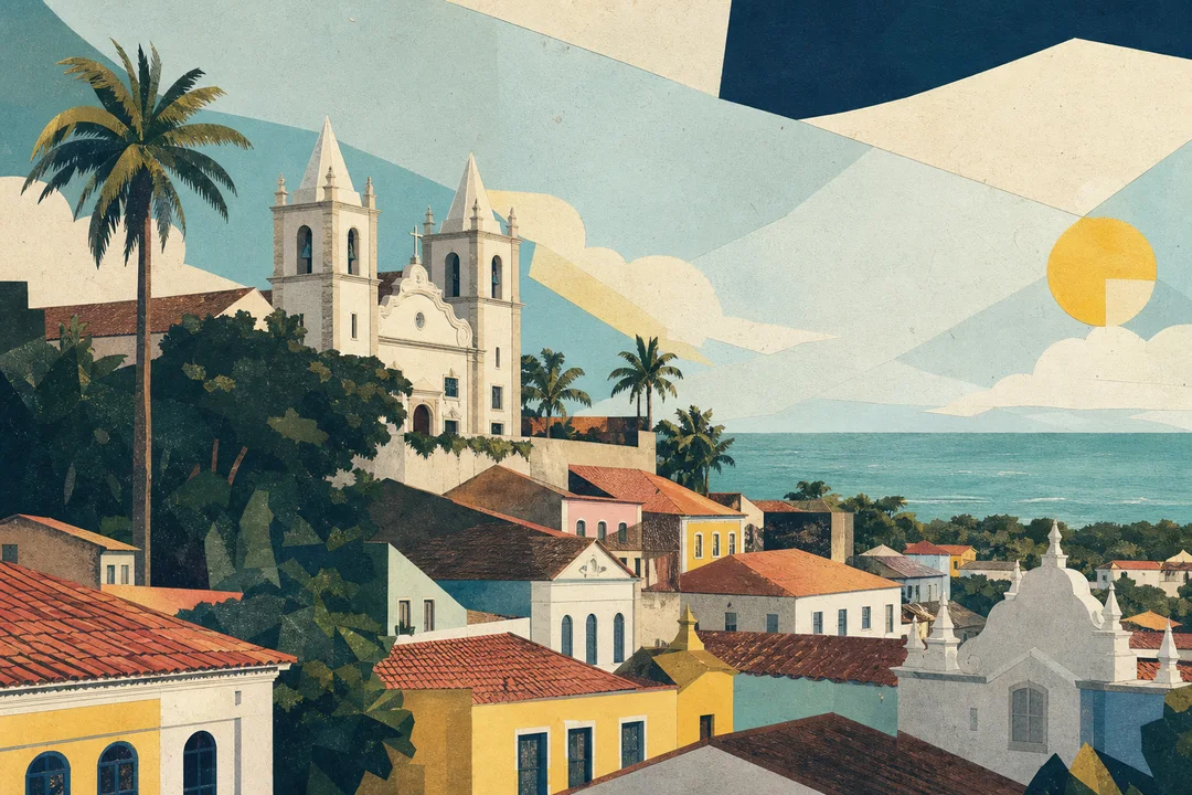
Route expanded on 30 July 2026. The illustration shows editorial sequence; use a live map for navigation.
Sources and fact-checking
We link to original sources and never present machine translation as original reporting.
Sources and fact-checking
We link to original sources and never present machine translation as original reporting.
Comments
To comment, open the portal with the Meu Recife button inside Telegram.
Open the botNo links, personal data or advertising. Up to five comments per day.